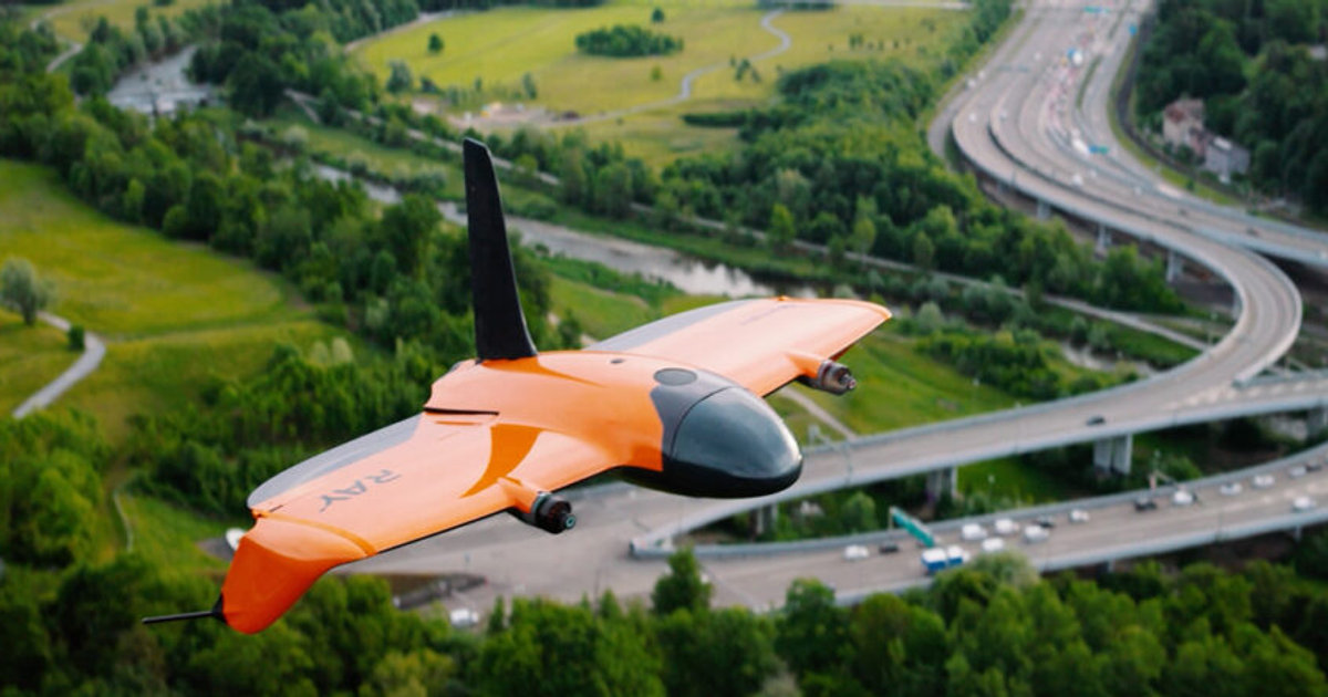
Six ways we turn altitude into answers.
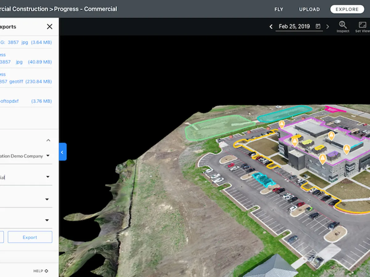
2D and 3D Mapping
Precise 2D and 3D mapping of neighborhoods, construction sites, and land masses - measure distances, volumes, and elevation change with ease.
Read more →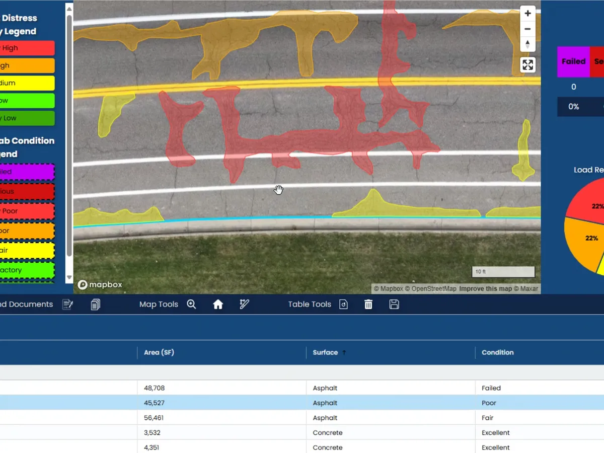
Pavement Condition Index
Advanced PCI scanning with detailed reports and a 5 to 20-year maintenance forecast for accurate municipal budgeting.
Read more →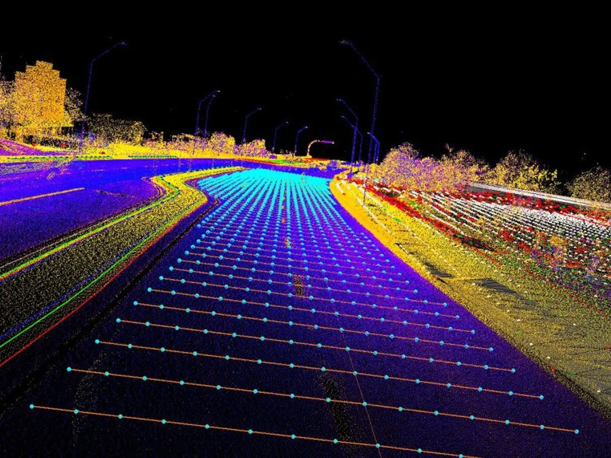
Feature Extraction
LiDAR-driven extraction of curbs, pavement edges, and paint lines delivered ready for Autodesk and AutoCAD.
Read more →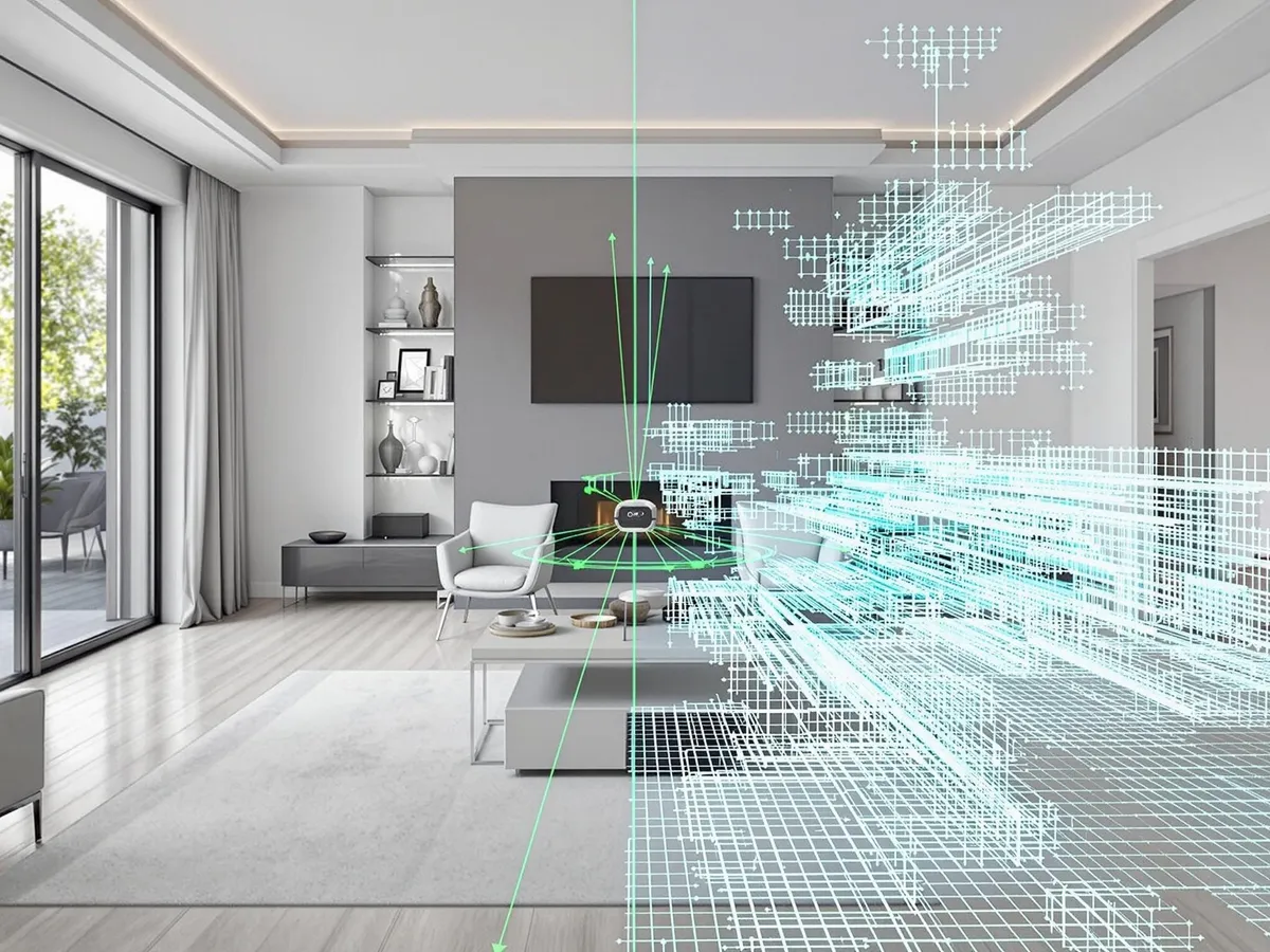
Real Estate
Aerial photography, 3D models, and immersive virtual walkthroughs that make listings stand out and sell faster.
Read more →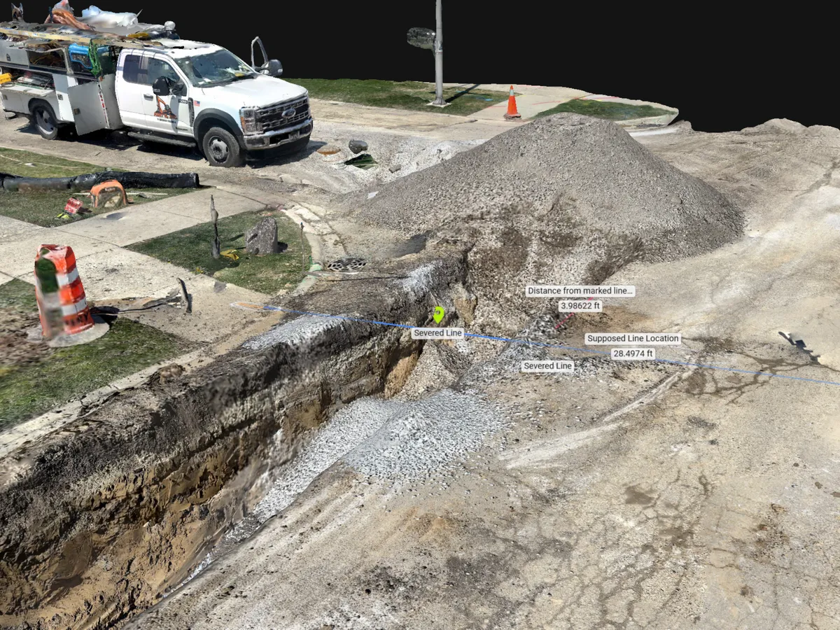
3D Work Areas
Centimeter-accurate ground scanning that builds detailed 3D environments of trenches, utilities, and confined work areas.
Read more →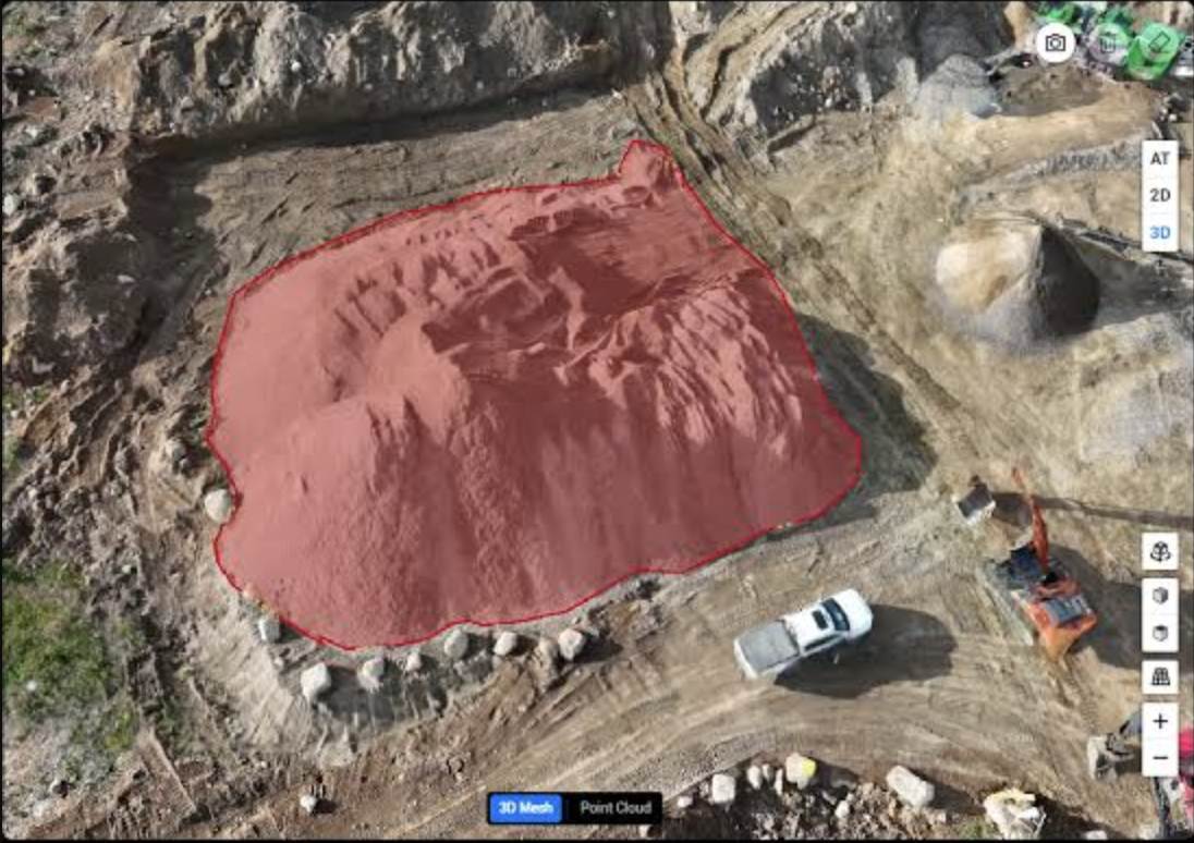
Volumetric Analysis
Precise cut/fill and stockpile volume calculations for construction, mining, and earthwork sites, delivered as accurate measurements for progress tracking and billing.
Read more →