
← ALL SERVICES[ Service 02 ]
Pavement Condition Index Surveys
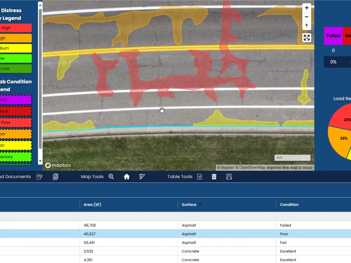
Advanced PCI scanning that assesses road and pavement conditions with high-definition imagery, giving municipalities detailed reports and a 5 to 20-year maintenance forecast for accurate budgeting.
[ What You Get ]
Deliverables
- Segment-by-segment PCI scoring
- Distress detection and classification
- 5 to 20-year maintenance forecast
- Budget scenario modeling
- GIS-ready reporting for public dashboards
[ How It Works ]
Scope, Plan, Capture, Deliver
01
Scope
We define the road network, segment lengths, rating method, and reporting requirements with your public works team.
02
Plan
Routes are sequenced to minimize traffic impact and coordinated with local authorities where needed.
03
Capture
High-resolution aerial imagery records every lane mile in consistent lighting and resolution.
04
Deliver
You receive scored segments, distress maps, and a forecast that plugs directly into your capital plan.
[ Who We Work With ]
Built for teams like yours
- City and county public works
- Township road commissioners
- Engineering consultants
- Campus and facility managers
[ FAQ ]
Frequently asked questions
Ready to scope your pavement condition index surveys project?
NDAA compliant, FAA Part 107 certified, insured up to $5 million, nationwide.