← ALL SERVICES[ Service 01 ]
2D and 3D Drone Mapping
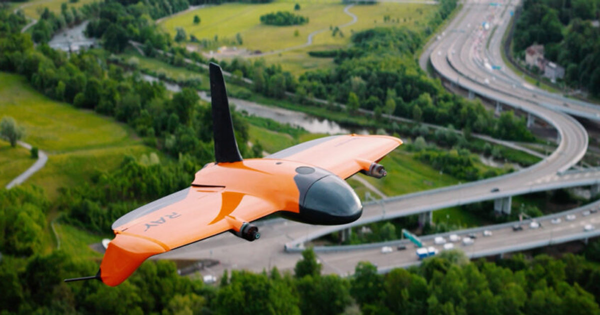
Precise 2D and 3D mapping of neighborhoods, construction sites, and land masses. Our Wingtra Ray fleet captures large areas fast so you can measure distances, volumes, and elevation change with confidence.
[ What You Get ]
Deliverables
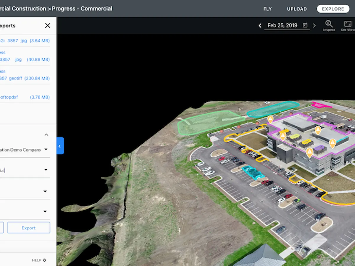
- Georeferenced orthomosaics
- Digital surface and terrain models (DSM / DTM)
- 3D textured mesh and colorized point clouds
- Contours at user-specified intervals
- Volume and distance measurements
[ How It Works ]
Scope, Plan, Capture, Deliver
01
Scope
We confirm site boundaries, accuracy targets, coordinate system, and the deliverables your team needs.
02
Plan
Flight lines, overlap, ground sampling distance, and airspace authorizations are planned before mobilization.
03
Capture
Our FAA Part 107 pilots fly NDAA compliant aircraft with PPK positioning and independent checkpoints.
04
Deliver
Processed, QC-checked datasets are delivered in CAD and GIS-ready formats, with an accuracy report.
[ Who We Work With ]
Built for teams like yours
- Civil engineers and surveyors
- General contractors
- Land developers
- Municipalities and DOTs
[ FAQ ]
Frequently asked questions
Ready to scope your 2d and 3d drone mapping project?
NDAA compliant, FAA Part 107 certified, insured up to $5 million, nationwide.