← ALL SERVICES[ Service 05 ]
3D Work Area Scanning
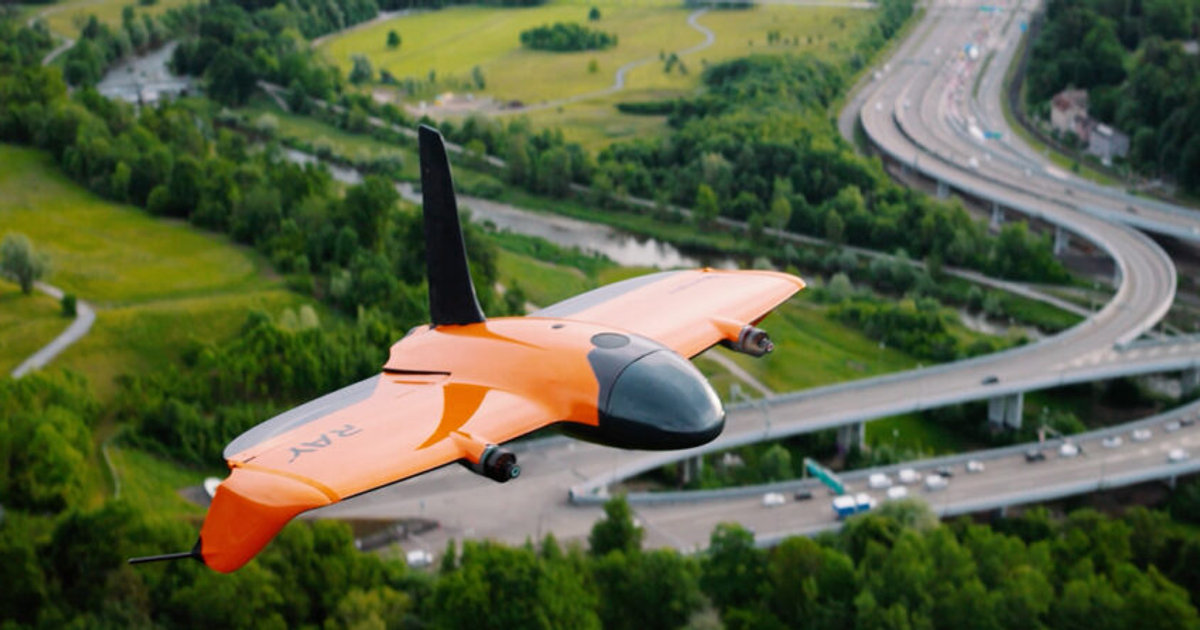
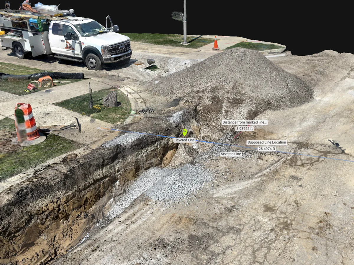
Precision LiDAR ground scanning with centimeter-level accuracy that creates detailed 3D environments of trenches, underground schematics, and confined work areas.
[ What You Get ]
Deliverables
- Trench and excavation documentation
- Underground utility schematics
- Pre-construction condition records
- Confined-space and interior scans
- Interactive digital twins for progress tracking
[ How It Works ]
Scope, Plan, Capture, Deliver
01
Scope
We identify the work areas, access constraints, and the documentation your project requires.
02
Plan
Scan positions and safety procedures are planned around active crews and open excavations.
03
Capture
Handheld and aerial LiDAR capture every surface, pipe, and structure at centimeter-level accuracy.
04
Deliver
You receive a navigable digital twin plus point clouds and measurements for engineering use.
[ Who We Work With ]
Built for teams like yours
- Utility companies
- Excavation and underground contractors
- Facility and plant managers
- Insurance and claims teams
[ FAQ ]
Frequently asked questions
Ready to scope your 3d work area scanning project?
NDAA compliant, FAA Part 107 certified, insured up to $5 million, nationwide.