← ALL SERVICES[ Service 03 ]
LiDAR Feature Extraction
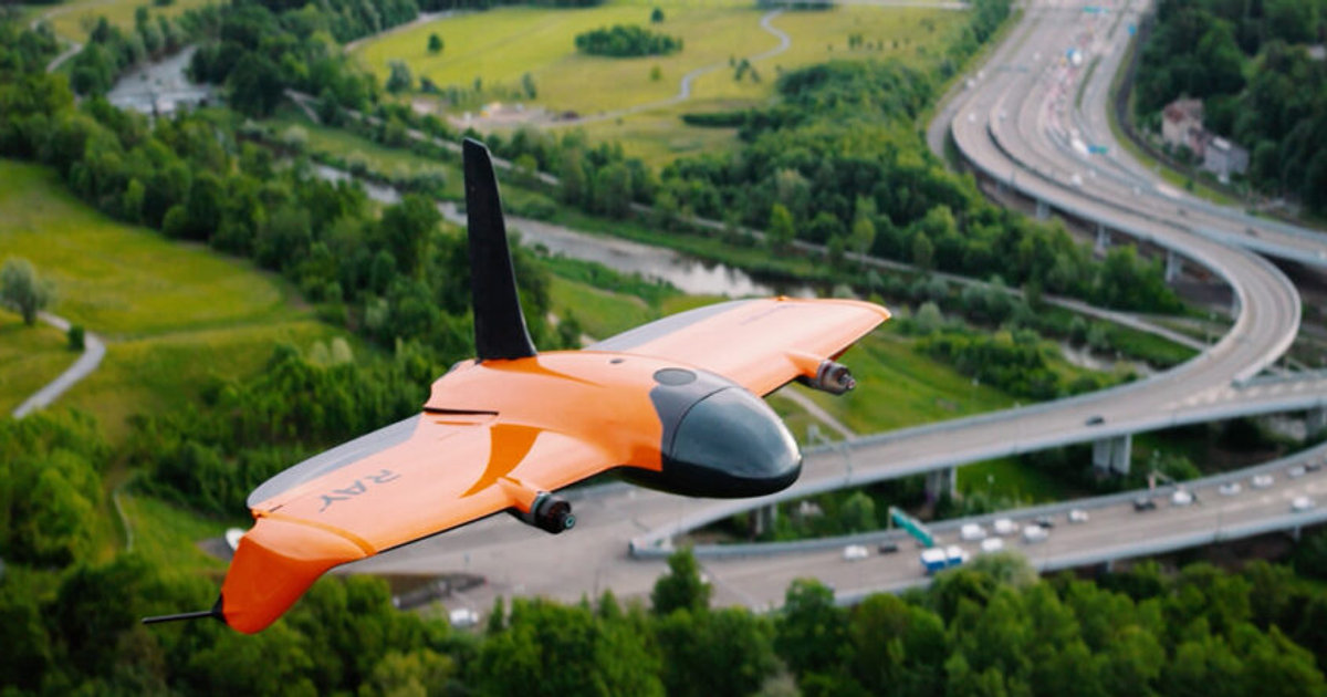
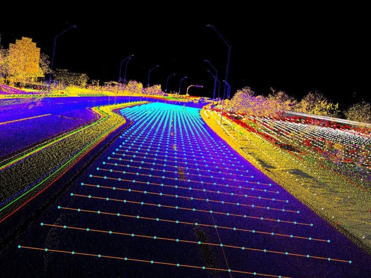
We use drone LiDAR to map and extract curbs, pavement edges, paint lines, and other critical features in exceptional detail, delivered ready for Autodesk and AutoCAD.
[ What You Get ]
Deliverables
- Curbs and gutter lines
- Pavement edges and paint striping
- Utility structures and surface assets
- Breaklines and contours
- CAD-ready linework and 3D surfaces
[ How It Works ]
Scope, Plan, Capture, Deliver
01
Scope
We confirm the corridor, feature list, CAD standards, and accuracy tolerances for your design project.
02
Plan
LiDAR flight parameters are tuned for point density along the features that matter most.
03
Capture
Dense LiDAR and imagery are collected together for accurate classification and visual context.
04
Deliver
Features are extracted in TopoDOT and delivered as linework, surfaces, and classified point clouds.
[ Who We Work With ]
Built for teams like yours
- Transportation engineers
- Survey firms
- Utility designers
- State and local DOTs
[ FAQ ]
Frequently asked questions
Ready to scope your lidar feature extraction project?
NDAA compliant, FAA Part 107 certified, insured up to $5 million, nationwide.